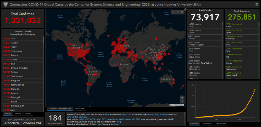
The geographic information systems company Esri, headquartered in Redlands, is playing a major role in mapping the spread of the coronavirus.
Esri’s mapping technology is being used by the World Health Organization, John Hopkins University, and other organizations tracking the spread of the virus.
"We're also providing best practices information, things like what to do if you want to build an app that's going to go viral, which many of them are nowadays, how do you protect health information, how do you use cartographic skills to map responsibly, we're providing white papers on pandemics and site selections and things like testing centers and alternative care locations, tutorial-style lessons so you can learn things quickly," says Este Geraghty, Esri's Chief Medical Officer and Health Solutions Director.

Ryan Lanclos is Esri’s Director of Public Safety Solutions.
“I think what Esri's role in this is, number one as a software provider to give the right tools to those organizations like the World Health Organization and John Hopkins and cities and counties and federal agencies around the world the ability to map and understand the spread," Lanclos said.
"It also helps them go to scale, right, so a lot of our ability to take the data sets that are being provided through those authoritative entities, helping them get the word out and spread that data broadly, that can help better decision-making globally around the spread of the pandemic and understanding where we go.”

You can access Esri’s COVID-19 GIS Hub, which includes maps, datasets, applications, and more, at coronavirus-resources.esri.com.


