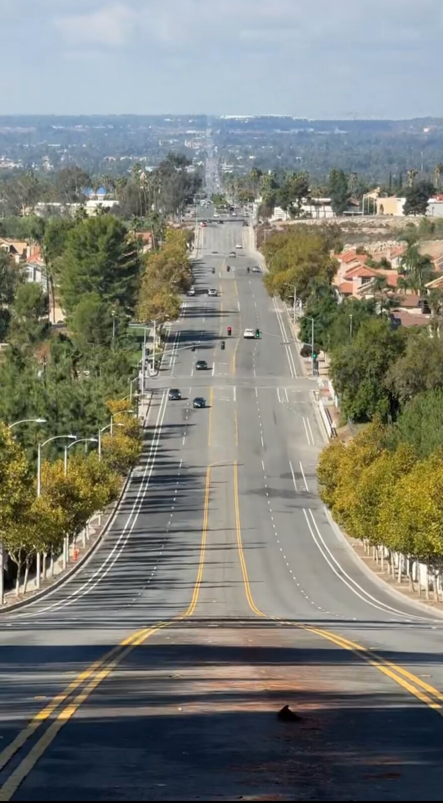
Have you ever driven down Base Line Street and wondered…. where’s the name come from?
It turns out you’ve been cruising along the backbone of Southern California’s land history. It’s a story that started not on asphalt, but atop a rugged mountain peak that rises high above the valley.

On November 7th, 1852, Colonel Henry Washington of the U.S. Army Corps of Engineers set the Initial Point for all Southern California land surveys.
Dr. Todd Heibel is a Professor of Geography at San Bernardino Valley College. He says an Initial Point is where a baseline intersects with a principal meridian. But what exactly is a baseline?

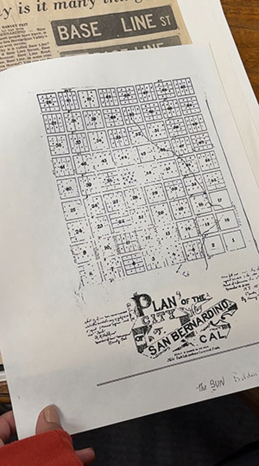
“So, this is part of something that is included in what’s called the U.S. Public Land Survey System, and it's basically just a very regularized rectangular grid system, where the baseline sort of represents local equators… separating townships into north versus south, east versus west.”
Washington and his 12-man team set out to create the Initial Survey Point, navigating four grueling days from what’s now Yucaipa, through dense wilderness and steep canyons, shaping the future landscape of Southern California.
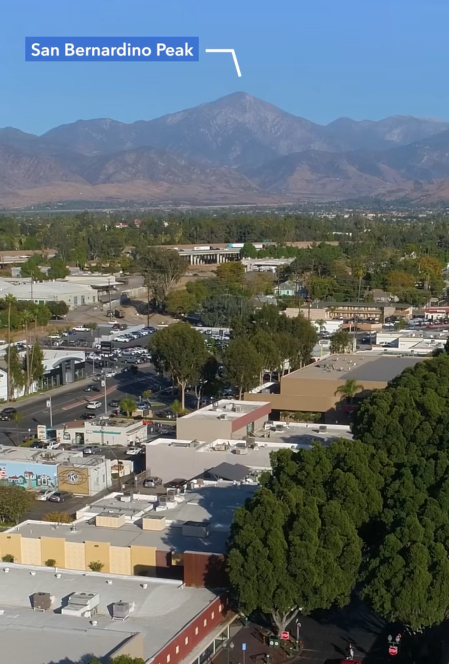
Washington eventually picked San Bernardino Peak… which is almost 11 thousand feet above the valley. From there, they could map the region all the way out to the coast and down to the Mexican border.

Washington and his men erected what would become known as Washington’s Monument on a bald ridge… half a mile west of the summit.
The Monument was originally a 25-foot pole rising out of a pile of rocks, with dangling tin reflectors. From the mountain top, Washington was known for flying a red flag and lighting fires that burned in the night sky, thrilling valley residents down below.
According to The Center for Land Use Interpretation, these 19th century tactics were used to provide visibility for assistants down in the San Bernardino Valley to make their bearings.
Professor Heibel says without modern technology, mistakes were bound to happen… and some still show up on today’s maps.
“You can imagine, you're going up on horseback, you're walking, surveying errors happened. There were also subsequent disagreements amongst the surveyors. To further complicate things, you actually had some holdovers and vestiges from the old Spanish land grants from the Spanish missions when California was part of New Spain, even before it was part of Mexico and the United States. So currently, we’re left with surveying errors that still exist in the modern-day sections.”
Heibel calls the errors, “beautifully imperfect”.
Washington’s Monument remains a significant landmark 173 years later. It’s still visited by hikers from around the world, who understand its historical weight.
It’s the highest and hardest-to-reach Initial Survey Point in the country. The hike is a steep 8-mile ascent and requires nearly a mile of elevation gain to reach the site.
As the air thins out and you’re nearing the top of the mountain, there’s a plaque to mark the detour to the well-hidden monument.
I had to see it for myself.

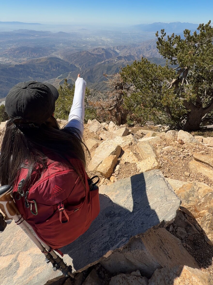
After the challenging, seemingly endless hike up, I place my pack and trekking poles aside and stand back to observe Washington’s work. The impressive pile of rocks is decorated with survey medallions from throughout the years… with a few unofficial markings from others who’ve made the trek.
But the monument has been mostly preserved due to the remoteness of the site.
From 10,000 feet up, I look down Base Line Street as it vanishes into the horizon, trying to imagine the valley as a blank canvas nearly two centuries ago. From this very spot, Southern California was planned.
So next time you’re traveling east down Base Line, look up to the mountains. Just below the summit of San Bernardino Peak, history is still standing watch - a quiet reminder that even the biggest landscapes start with one small point on a map.
And if you want to see this part of history for yourself, you can. It’s just a hike away.


